South Korea Faces Snow and Rough Seas; Shipping Could Be Disrupted
South Korea’s eastern regions are expected to be largely cloudy today, with the rest of the country seeing occasional cloudiness. Rain is forecast along the East Sea coast in Gangwon and North Gyeongsang, and in Busan and Ulsan, totaling around 5 millimeters in those areas.
Snow is possible in the mountainous terrain of Gangwon and North Gyeongsang, with accumulations up to about 5 centimeters. The East Sea coast could see about 1 centimeter of snow in some locations. Strong winds are anticipated in these areas.
Daytime highs are projected to range from 7 to 14 degrees Celsius across the country, with Seoul expected to reach about 12C. These readings are slightly cooler than yesterday.
Tonight into tomorrow morning, temperatures are forecast to dip toward freezing in many areas. Seoul is expected to be around 3C, while nationwide lows could range from -4C to 4C, similar to today’s levels.
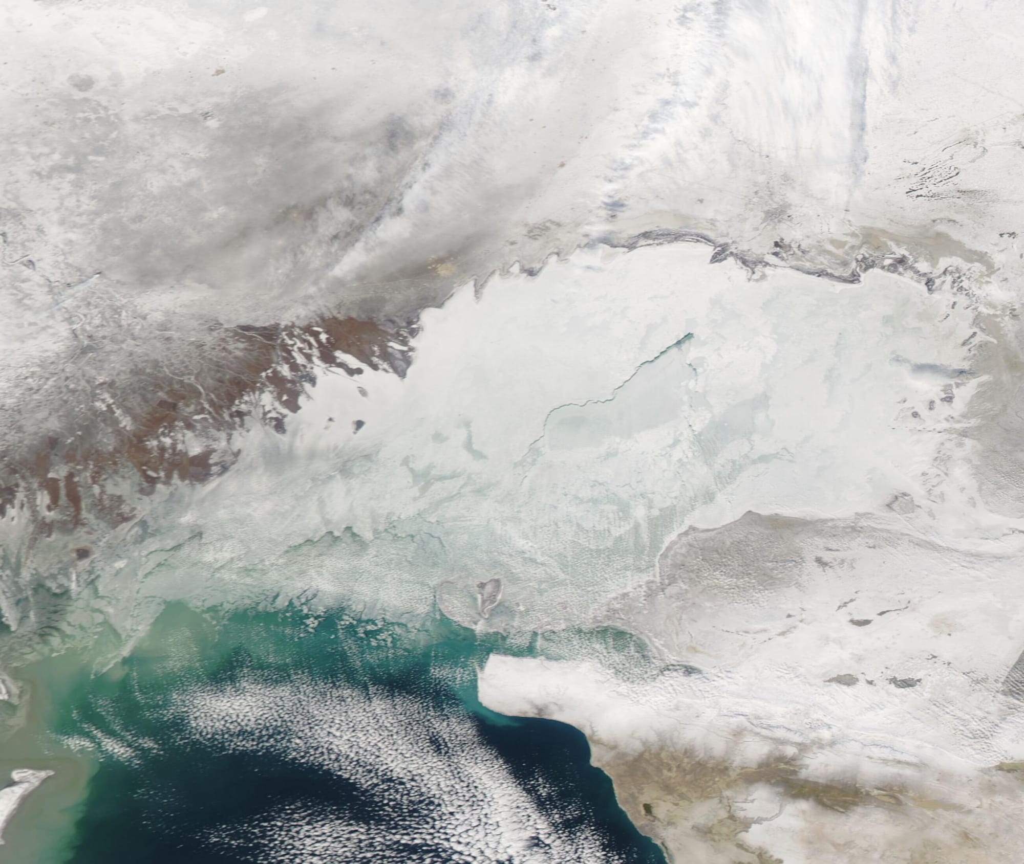
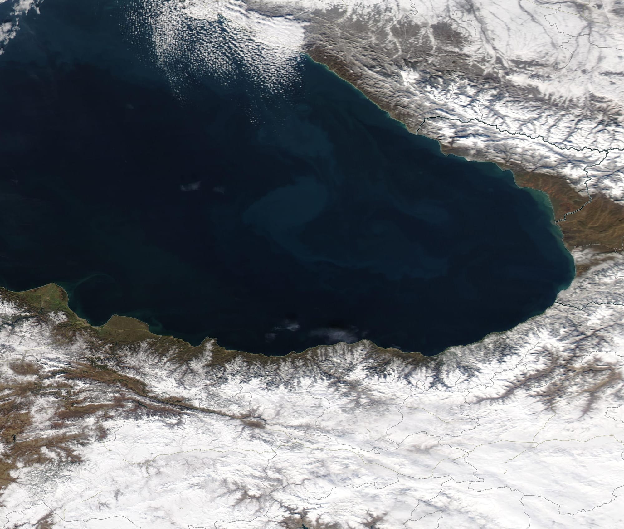
Sea conditions are rough, with waves of 2 to 3 meters forecast in several zones, including parts of the southern and eastern seas and waters around Jeju Island. The windy, wet weather and high seas could affect coastal activities and freight shipping.
Over the weekend, Saturday and Sunday are expected to remain largely cloudy, with limited sunshine and ongoing unsettled conditions in parts of the peninsula.
Why this matters for the United States: South Korea is a crucial hub for global electronics, autos, and other high-tech exports, with Busan and Ulsan hosting major ports and industrial complexes. Rain, snow, and strong winds can disrupt road transport to factories and delay shipments through one of the world’s busiest container port networks, potentially impacting supply chains that feed U.S. manufacturers and retailers. The anticipated sea conditions around Jeju and along the East Sea may affect international shipping schedules and fuel demand in winter weather.