Korea Ends Eastern Rain; Weekend Cloud, Overseas Dust Dim Air, Rough Seas

Much of the rain and snow that lingered on Korea’s eastern regions has ended, and the weekend is expected to stay cloudy without new precipitation.

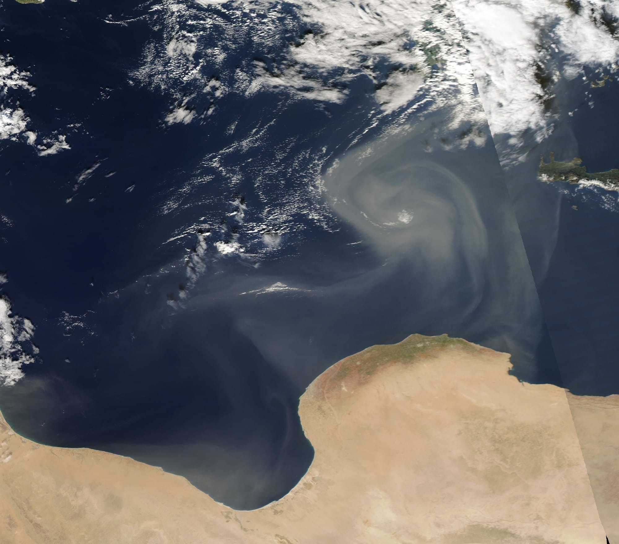
Air quality remains in the good-to-moderate range nationwide, with forecasts calling for acceptable air quality tomorrow. On Sunday, however, overseas dust is expected to drift in, causing hazier conditions and higher particulate levels in parts of the country.

Dust levels are projected to rise over the holiday, starting in the central regions, with higher readings in Gangwon Yeongdong and the southern areas in the afternoon.

Gusting winds carried Saharan dust over the Mediterranean Sea in mid-November 2022.
On November 17, the Moderate Resolution Imaging Spectroradiometer (MODIS) on board NASA’s Terra satellite acquired a true-color image of the start of a dust storm, with camel-colored sand and dust blown into a swirling pattern between Libya (south) and Greece. Subsequent MODIS images show that clouds of dust have continued to pulse over northern Libya and the Mediterranean through November 19. While the exact source of the dust isn’t clear, it appears to primarily rise from sand seas in northern Libya.

Libya, a country about two-and-a-half times the size of the U.S. state of Texas, is one of the driest countries in the world. According to the United Nations Office for Coordination of Human Affairs, as of 2021, the country is more than ninety-five percent desert, with most of the land barren with flat to undulating plains. Only about one percent of the land is arable, and the country is forced to import about 75 percent of the food needed to meet local needs. OCHA notes that the Great Man-Made River project, which provides 60 per cent of all fresh water used in Libya, draws water from non-renewable aquifers that cannot be recharged by rain. The country is susceptible to floods, sandstorms, dust storm and desertification. The UN notes that Libya is a country living in “fragile circumstances” and it is one of the areas severely vulnerable to the effects of climate change.
Representative image for context; not directly related to the specific event in this article. License: Public domain. Source: Wikimedia Commons.

Temperatures will continue to swing sharply, with chilly mornings and evenings and milder afternoons. Saturday will start cold inland, with subfreezing conditions in places, then temperatures should climb into the double digits by afternoon.

In Seoul and nearby Cheongju, morning lows are expected near 2°C, with daytime temperatures around 12°C in Seoul, Goyang, and Gangneung. The southern inland regions may see morning fog, and frost is possible in some locales. Mokpo and Changwon are forecast to start around 2°C, while Daegu and Gwangju could reach about 15°C at noon.

On February 7, 2018, the Moderate Resolution Imaging Spectroradiometer (MODIS) on NASA’s Terra satellite acquired this true-color image of dust from the Sahara blowing over the Mediterranean Sea toward southern Europe.
According to news reports, the dust was carried by winds known as the scirocco. (In North Africa, these same desert winds are known as “chrom” (hot) or “arifi” (thirsty). The warm, dry air mass begins over the Sahara, picks up moisture over the Mediterranean, and moves north toward areas of lower pressure along the coasts of Europe.

The dust can be seen making its way toward Italy, and then continues to countries to the north (beyond this image). According to local news reports, the winds brought above average temperatures to Italy, while the sand increased the chance of rain. The fine sand particles can act as a “seed” on which water droplets can form fog or fall as rain. In Italy’s coastal areas, cars were covered with a layer of dust.
Representative image for context; not directly related to the specific event in this article. License: Public domain. Source: Wikimedia Commons.

Coastal seas will be rough, with high waves along the East Sea and the Jeju coastline. Wave heights are forecast to reach up to about 3.5 meters for the East Sea, the southern seas, and around Jeju.

Next Wednesday, rain is expected to reach the southern half of the peninsula, including areas south of Chungcheong. The forecast emphasizes changing spring conditions across Korea into midweek.

Why this matters for U.S. readers: Korea is a critical supplier of advanced electronics components and display panels, and weather or demand shocks can ripple through global tech supply chains. Air quality shifts tied to regional dust can affect travel, health advisories, and workforce productivity in multinational operations. Additionally, rough seas along Korea’s coasts influence shipping and port activity, with potential downstream effects on trade routes and timing for goods moving to or from the Asian market.

Subscribe to Journal of Korea

Don’t miss out on the latest issues. Sign up now to get access to the library of members-only issues.
jamie@example.com
Subscribe